UN
78 Moss Way
£ 72,000
Description
We don't have a Description for this property.
- Bedrooms
- 3
- Bathrooms
- 0
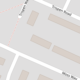
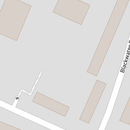

Leaflet © OpenStreetMap contributors
The heatmap indicates the level of crime in the area. The color of the heatmap indicates the crime severity and recency.
Metrics Year-on-Year
- Average area value
- 128,931.00 £Decreased by 26.80 %
- Average area rental value
- 838.00 £/moDecreased by 4.23 %
- Est rental Yield
- 7.80 %Increased by 30.87 %
- Crime Rate
- 11.00 %Unchanged by 0.00 %
from 176,126.00 £
from 875.00 £/mo
from 5.96 %
from 11.00 %
Nearby Schools
| Name | Type | Ofsted | Distance |
|---|---|---|---|
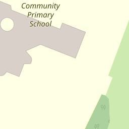
| Croxteth Community Primary School | Academy Sponsor Led | 0.14 KM | |
| Our Lady And St Swithin'S Catholic Primary School | Voluntary Aided School | Good | 0.58 KM |
| Croxteth Children'S Centre | Children's Centre Linked Site | 0.67 KM | |
| The De La Salle Academy | Academy Sponsor Led | Special Measures | 1.58 KM |
| Bluebell Park School | Community Special School | Good | 1.85 KM |
Images
Nearby Streets
| Name | Average Price | Average Sqft | Distance |
|---|---|---|---|
| Helford Road | £ 0 | 0 | 0.00 KM |
| The Grove | £ 0 | 0 | 0.00 KM |
| Saint Cuthbert's Close | £ 0 | 0 | 0.00 KM |
| Fir Tree Drive South | £ 0 | 0 | 0.00 KM |
| Rockford Close | £ 0 | 0 | 0.00 KM |
Nearby Transport
| Name | NLC | TLC | Distance |
|---|---|---|---|
| Kirkby (Merseyside) | 2124 | KIR | 3.44 KM |
| Fazakerley | 2126 | FAZ | 4.77 KM |
| Broad Green | 2240 | BGE | 5.52 KM |
| Wavertree Technology Park | 8589 | WAV | 6.42 KM |
| Roby | 2261 | ROB | 6.74 KM |
Nearby Listings
| Address | Price | Type | Score | Distance |
|---|---|---|---|---|
| Redruth Road, Liverpool, L11 | £ 150,000 | BUY | 7 / 10 | 0.20 KM |
| Delabole Road, Liverpool, Merseyside, L11 | £ 190,000 | BUY | 7 / 10 | 0.31 KM |
| Riviera Drive, Liverpool, Merseyside, L11 | £ 158,500 | BUY | 6 / 10 | 0.35 KM |
| Altcross Road, Croxteth, Liverpool, Merseyside, L11 | £ 155,000 | BUY | 6 / 10 | 0.37 KM |
| Petherick Road, Gillmoss, Liverpool | £ 130,000 | BUY | 7 / 10 | 0.40 KM |
Nearby Properties
| Address | Price | Distance |
|---|---|---|
| 80 Moss Way | £ 56,000 | 0.00 KM |
| 78 Moss Way | £ 72,000 | 0.00 KM |
| 22 Blackwater Road | £ 69,950 | 0.08 KM |
| 25 Blackwater Road | £ 63,000 | 0.08 KM |
| 15 Blackwater Road | £ 52,000 | 0.08 KM |